Participatory Coastal Resources Mapping in Greater Bazaruto Key Biodiversity Area
Participatory Coastal Resources Mapping
Oct. 2023 - Apr. 2024
Overview
The Greater Bazaruto KBA houses diverse marine ecosystems and because of its abundant biodiversity and diverse landscapes, this area holds significant ecological, economic, and societal importance, with tourism and fisheries serving as primary activities. This unique ecosystem sustains the livelihoods of local communities residing within the BANP and coastal communities in the mainland districts of Vilankulos, Inhassoro, and Govuro. However, the habitats and species face threats from illegal and unsustainable fishing practices, unregulated natural resource utilization. Therefore, due to aforementioned challenges and the imperative to enhance decision making for biodiversity conservation and community engagement, this research was conducted, aiming to i) geographically map locations that are regarded as crucial for providing essential resources and services for both island and mainland communities, ii) Provide a comprehensive understanding of how these significant sites are currently being utilized and by whom within the community, iii) Identify which types of usage are deemed sustainable and harmonious, as opposed to those that may generate conflicts, iv) Investigate and document the perspectives of local communities on the anticipated changes in these areas over the next decade, including alterations in distribution and utilization patterns resulting from climate change and other environmental factors.

Stakeholders Participatory Mapping (Inhassoro, November 2023)
The study was conducted through a participatory spatial mapping in three different levels/categories, namely: Distrital level with the main stakeholder in natural resources management and biodiversity conservation and community level, including Communities Fishering Council (CCPs) within Vilankulo and Inhassoro districts.
At district level, these workshops aimed to assess the current status of coastal planning and engage stakeholders in discussions regarding fisheries resource management across the province.

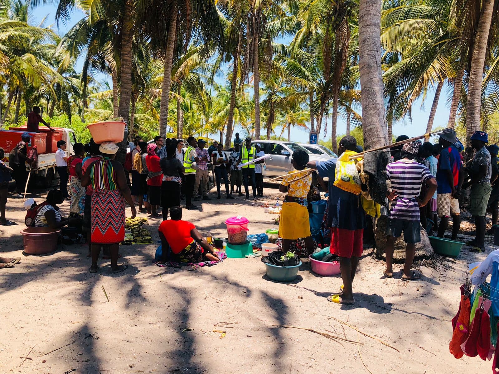
Community participatory mapping (Benguerra)
At community level (inland) Participatory spatial mapping was conducted separately with CCPs of Vuca, Petane, Mukokuene, Tsondzo, Mangarelane, Nhagondzo and Chivambofrom Inhassoro district and Mangalisse, Mabandene, Mondego and Chichocane from Vilankulo district, where was gathered high-value information regarding coastal zoning in fishing contest and biodiversity and ecosystems conservation efforts carried out at the community level in order to maintain the fishing activity sustainable.
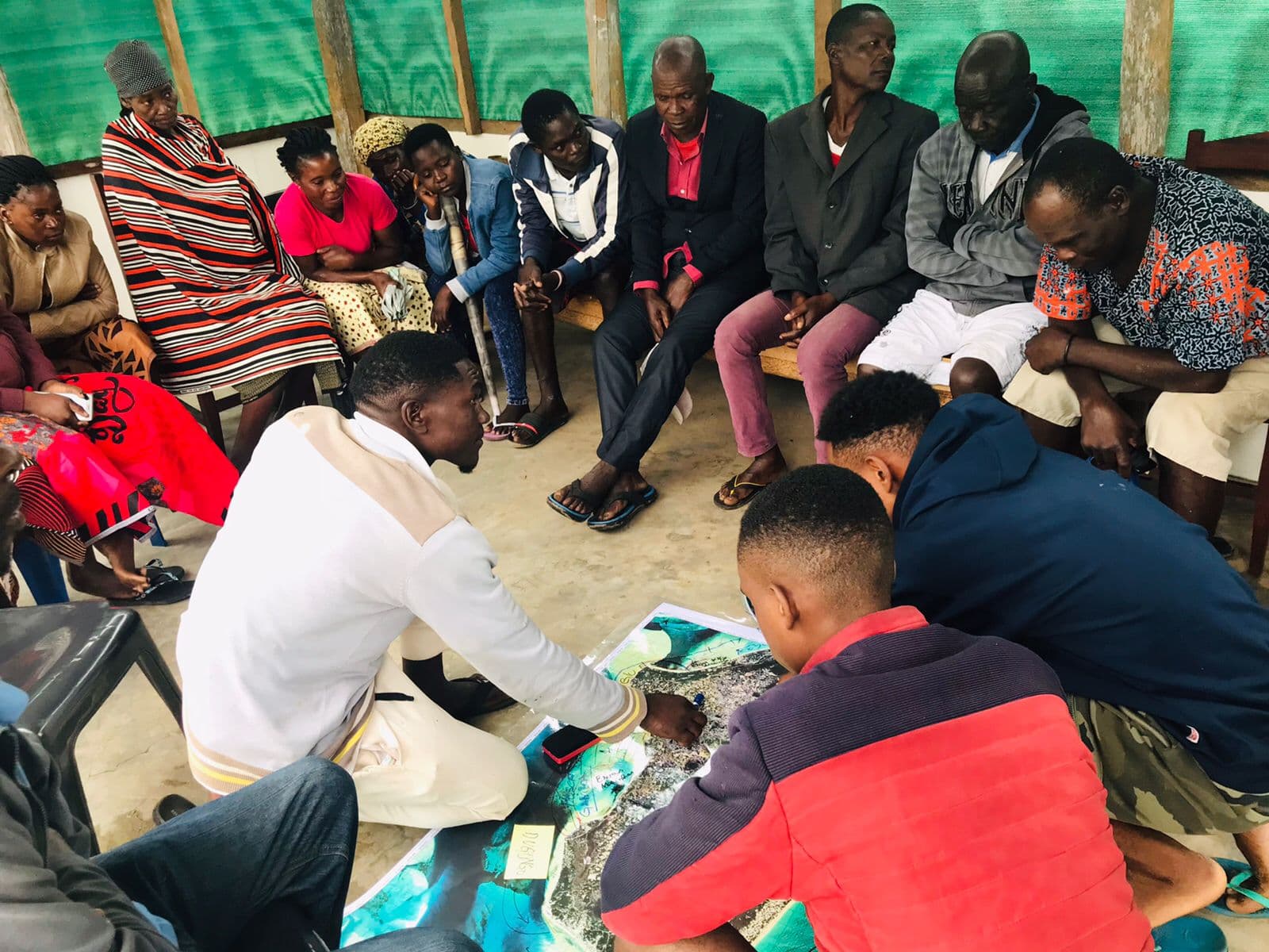
CCP Participatory mapping
The research covered the island's community within the archipelago. The communities from Magaruque, Benguera and Bazaruto islands provided extremely relevant information, given their exclusive dependence on marine resources as a means of subsistence, they revealed in-depth knowledge about coastal zoning in the region of the Greater BazarutoKBA, which enabled the creation of more precise maps with more in-depth details about fishing areas, tourism, mangroves, the occurrence of coral reefs, dugong and turtle routes, etc.
Results
Available under request
Applied Skills
GIS
Remote Sensing
Community Engagement
Biodiversity Conservation
Qualitative Research
Involved institutions