Deyril M. Ibraimo
Agronomist & Remote Sensing Analyst
Welcome to my e-Portfolio, I am pleased to have you here!
Remote Sensing Analyst with over 4 years experience

About Me
Professional Overview
I'm a Remote Sensing Analyst with over 4 years experience. My area of expertise is notably focused on GIS and Earth Observation (EO) Systems for Agriculture, Forest and biodiversity monitoring, a passion which emerged during my final year of undergraduate studies, while validating biophysical parameters in agronomic crops based on satellite imagery. It includes the collection and validation of spatial data and development of models that generate data to support decision-making in natural resource management and precision agriculture based on satellite and UAV imagery and also extends to knowledge transfer, training and empowering communities in biodiversity monitoring through participatory spatial data for community based natural resources management, measuring and analyzing biodiversity losses and adeptly measure biophysical parameters in local forests based on geospatial data.
I have a passion for research design and monitoring, evaluation & Learning (MEL), which gives me a chance to be a lifelong learner through the lessons from the reality and experience of every single project.
“Every project is an opportunity to learn and grow, transforming data into actionable insights for sustainable development.”
Professional Timeline
A journey through my professional experience, education, and key achievements
Remote Sensing Analyst
Leading operations and coordinating multiple research projects focused on climate vulnerability assessment, land use monitoring, and community engagement across African countries.
Operations Coordinator
Coordinating STEM promotion activities and developing strategies for adopting UAV technology, data science, and artificial intelligence for sustainable development in Southern Africa.
Projects Consultant
Conducting participatory coastal resources mapping, artisanal fishing value chain mapping, and developing remote sensing-driven monitoring frameworks for land cover and biomass estimation.
Agricultural Entomology Trainer
Conducting training in integrated agricultural pest management, identification, monitoring and training of agricultural pests.
Geographic Information Technology Monitor Lecturer
Teaching Geospatial data acquisition and processing, remote sensing applied to precision agriculture.
Field Technician in Research Program
Working on food security, agribusiness and resource use efficiency in agriculture based on Earth Observation system.
Projects
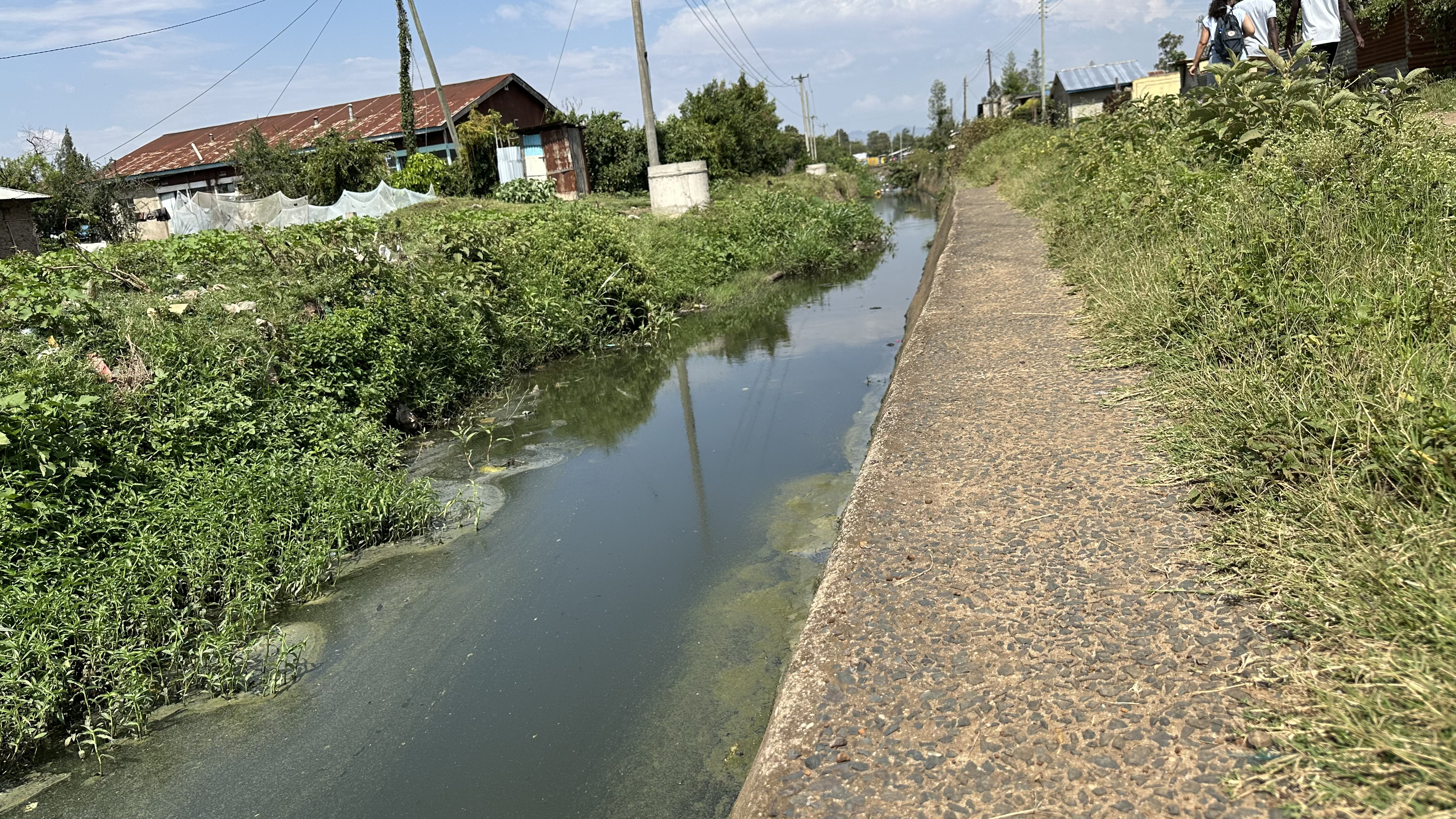


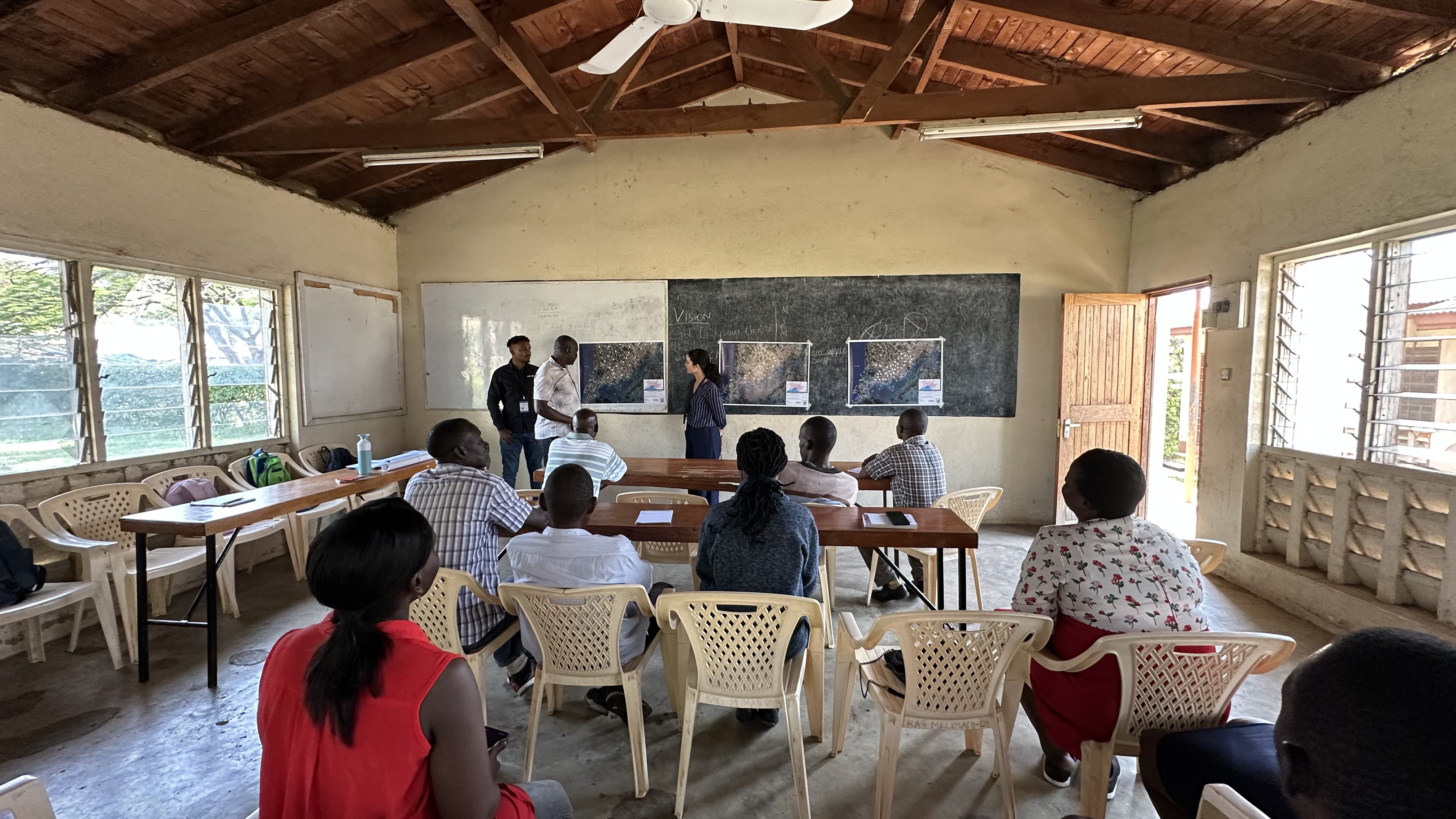
SPACE4ALL
Mapping climate vulnerabilities of slums by combining citizen science and earth observation technology
SPACE4ALL is a project owned by the ITC- University of Twente and NWO (Dutch Research Council) that aims to unravel the climate vulnerability of slum ...
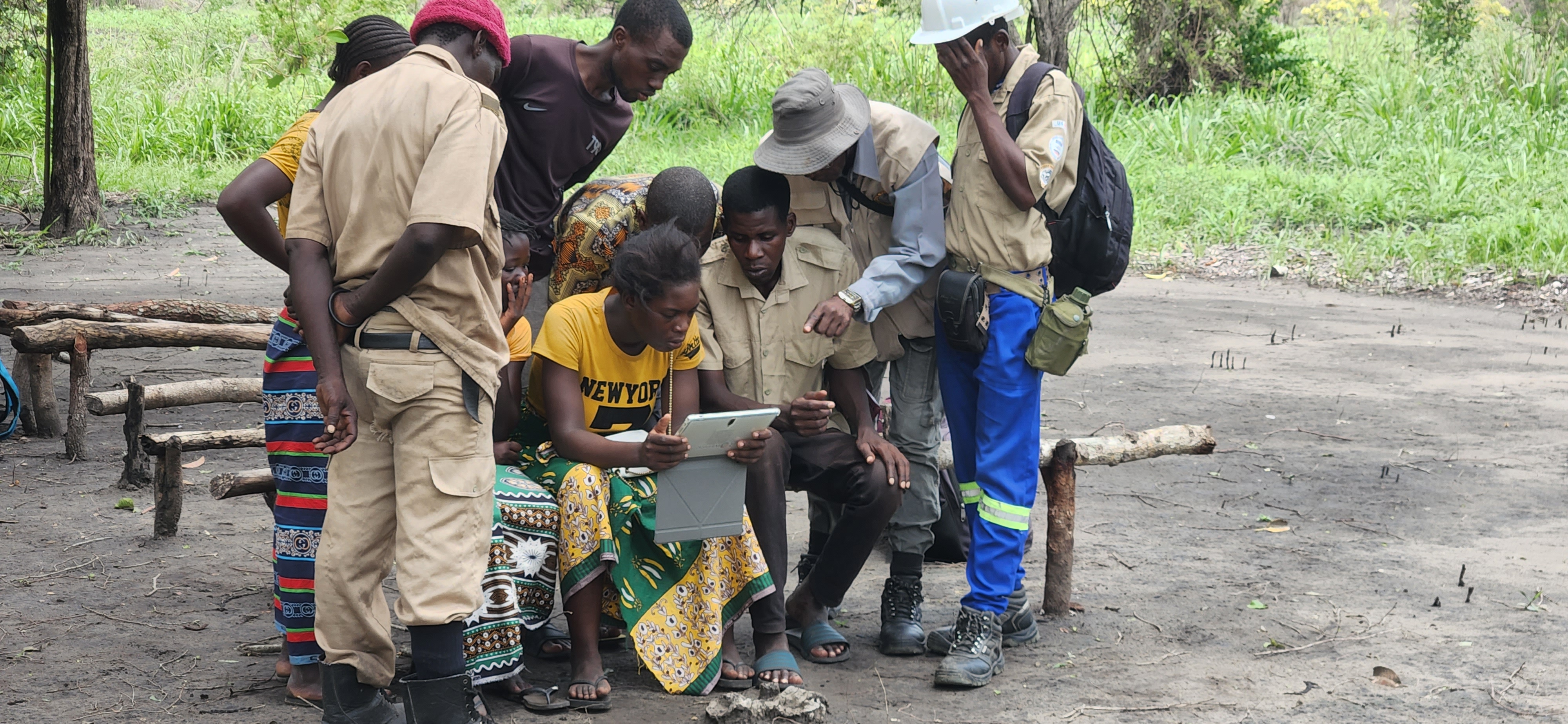
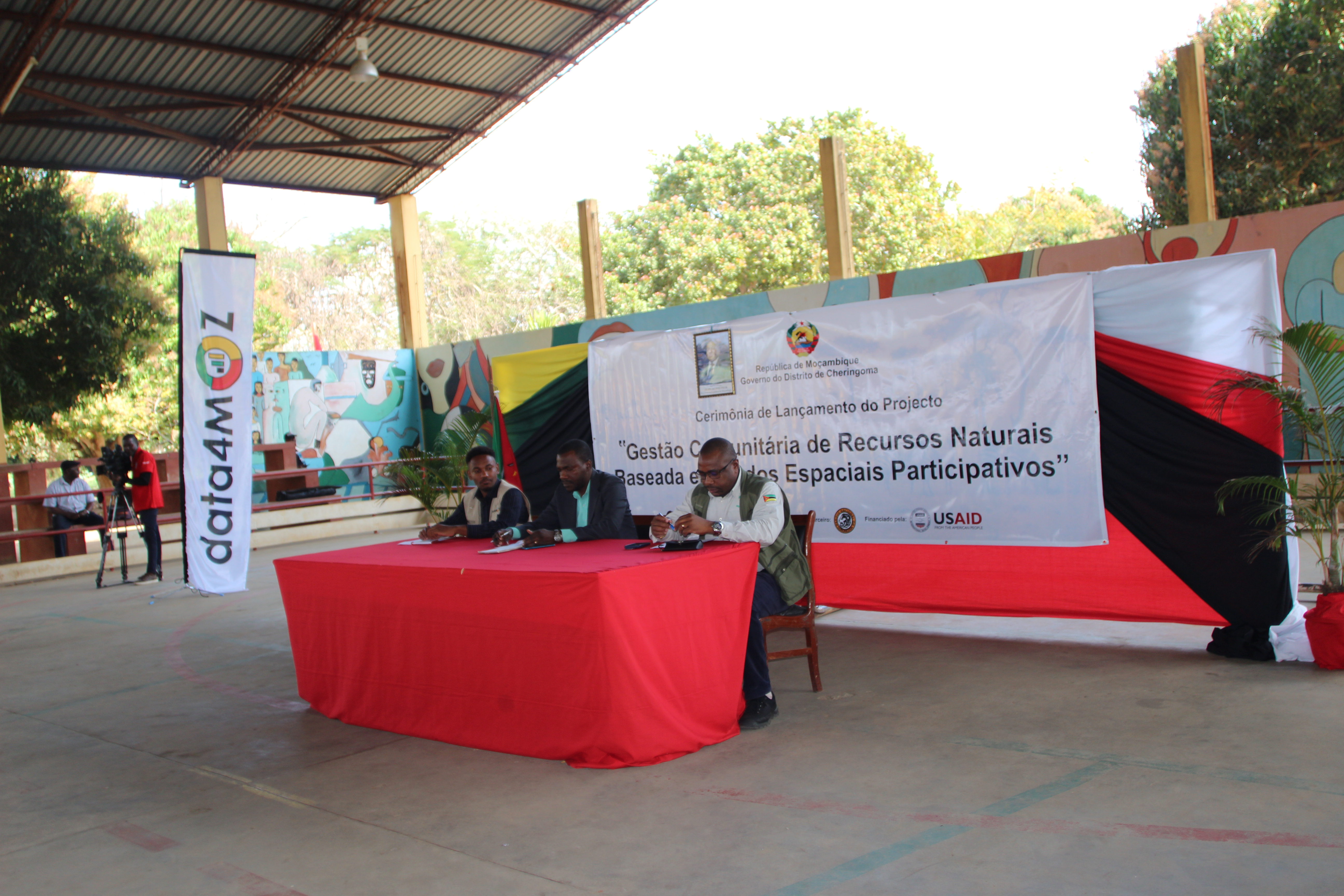
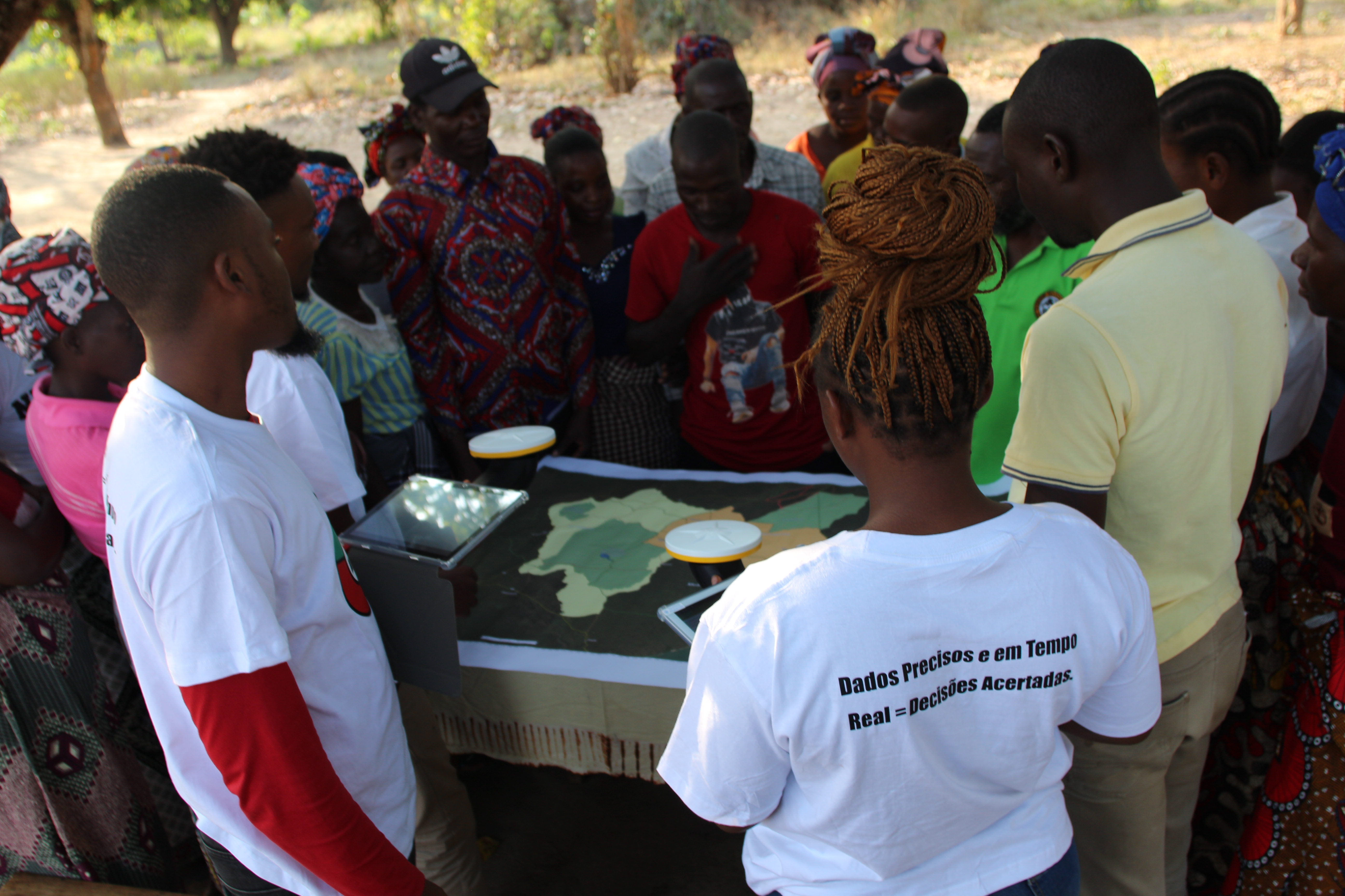
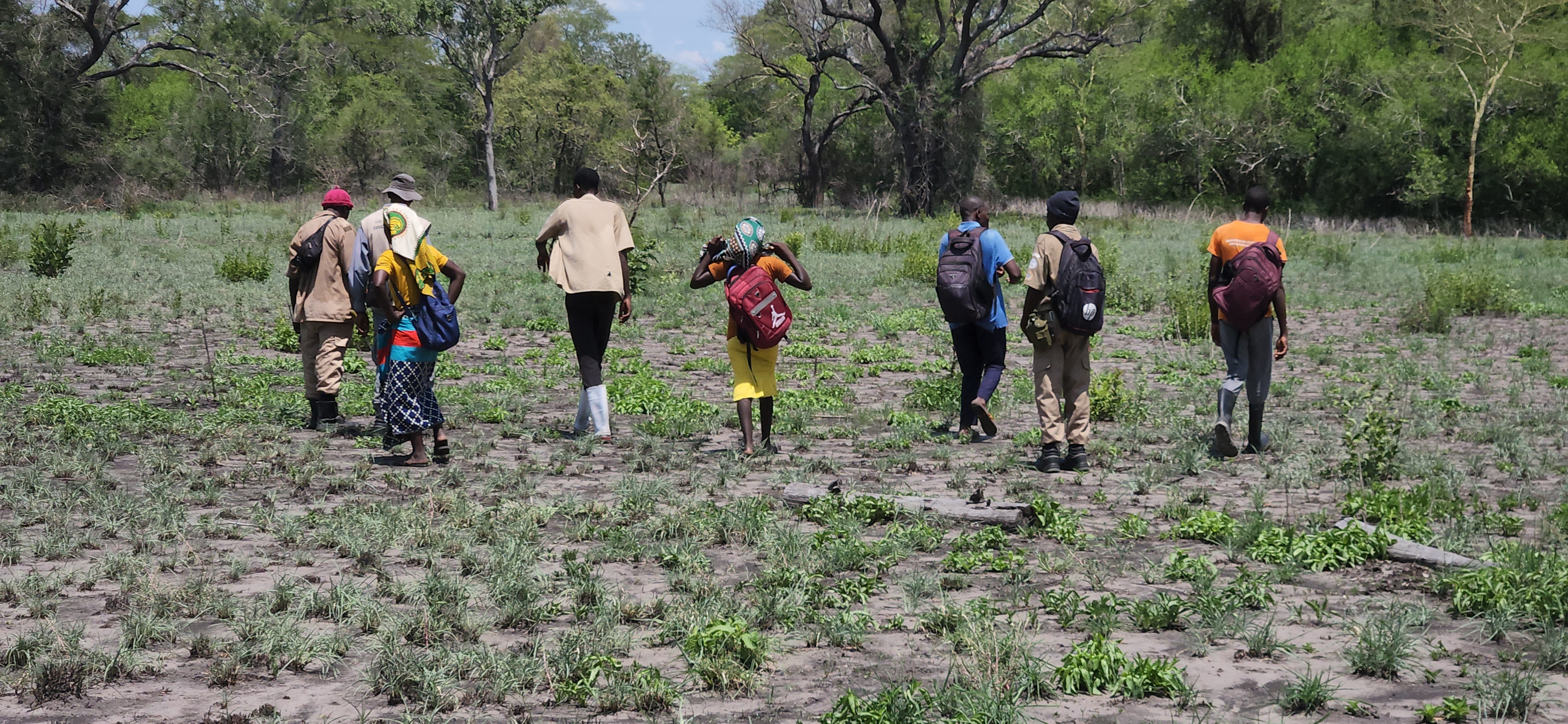
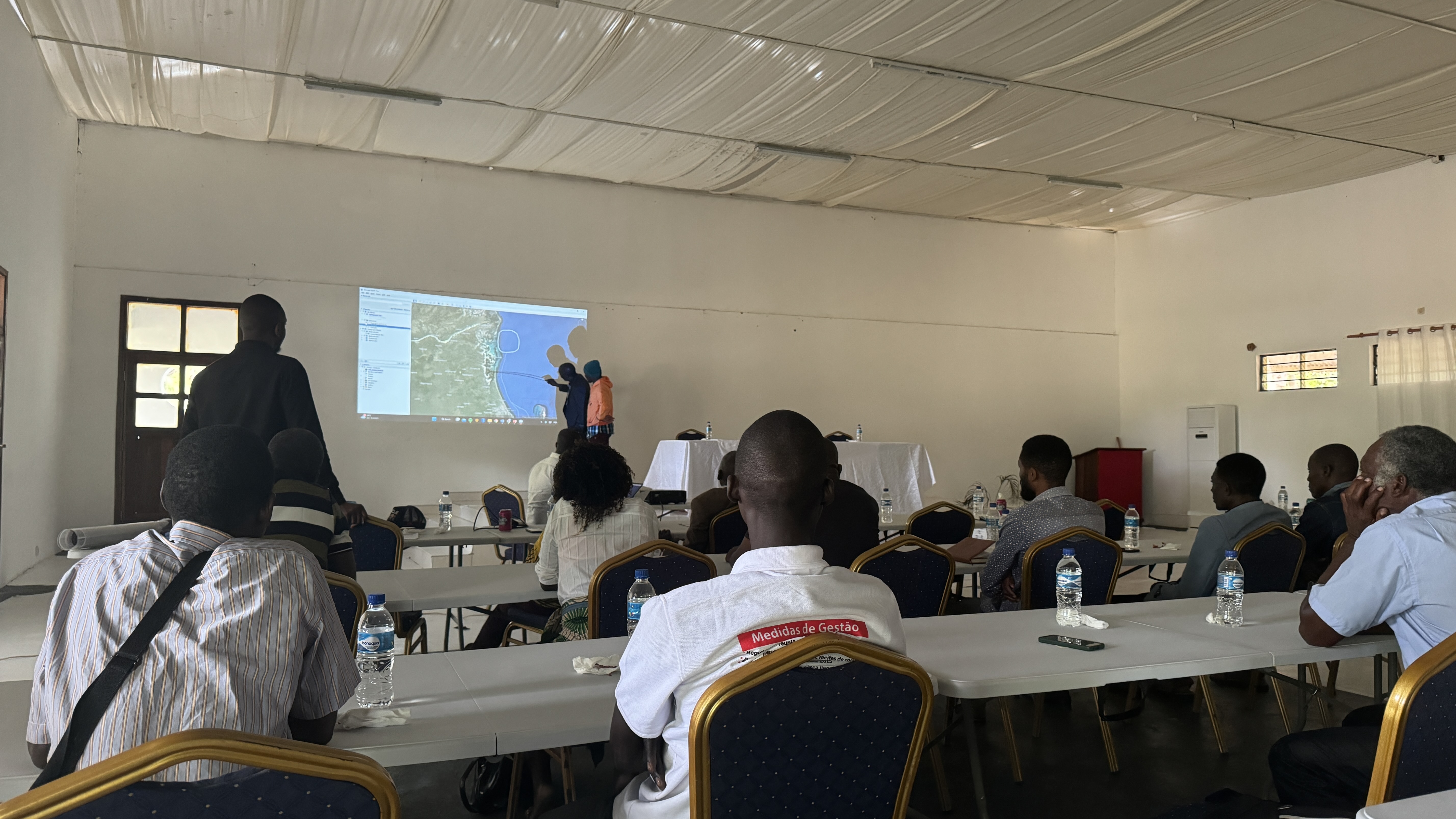
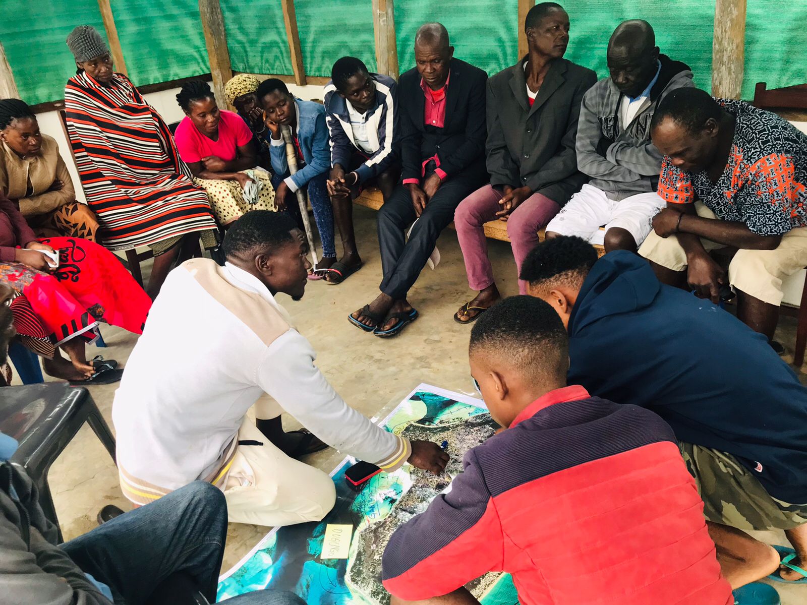
Community-Led Natural Resources Management through Participatory Spatial Data
Empowering Communities in the Gorongosa-Marromeu Complex for Sustainable Resource Management
This project, funded by USAID, arises from the observation of the fact that the communities in Mozambique, particularly in the central province of Sof...
/Image 2.jpg)
/Image 3.jpg)
/Image 4.jpg)
Land Use Intensity's Potential, Vulnerability and Resilience for Sustainable Agriculture in Africa (LUISA)
Land Use Intensity's Potential, Vulnerability and Resilience for Sustainable Agriculture in Africa (LUISA)
The long-term goal of "Land Use Intensity's Potential, Vulnerability and Resilience for Sustainable Agriculture in Africa" (LUISA) is to build the res...
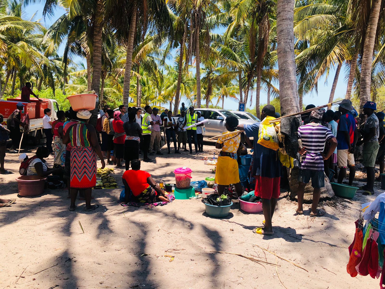
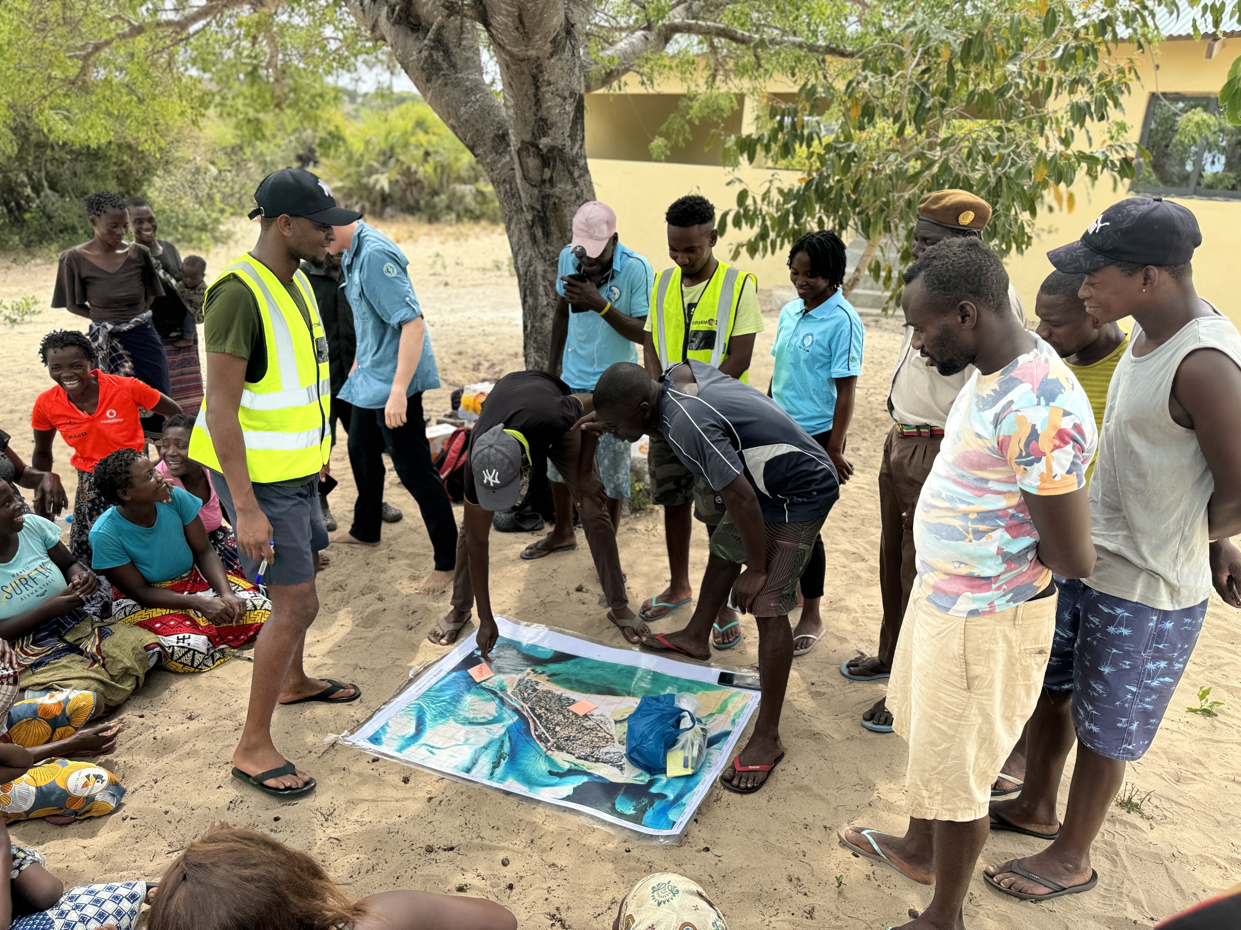
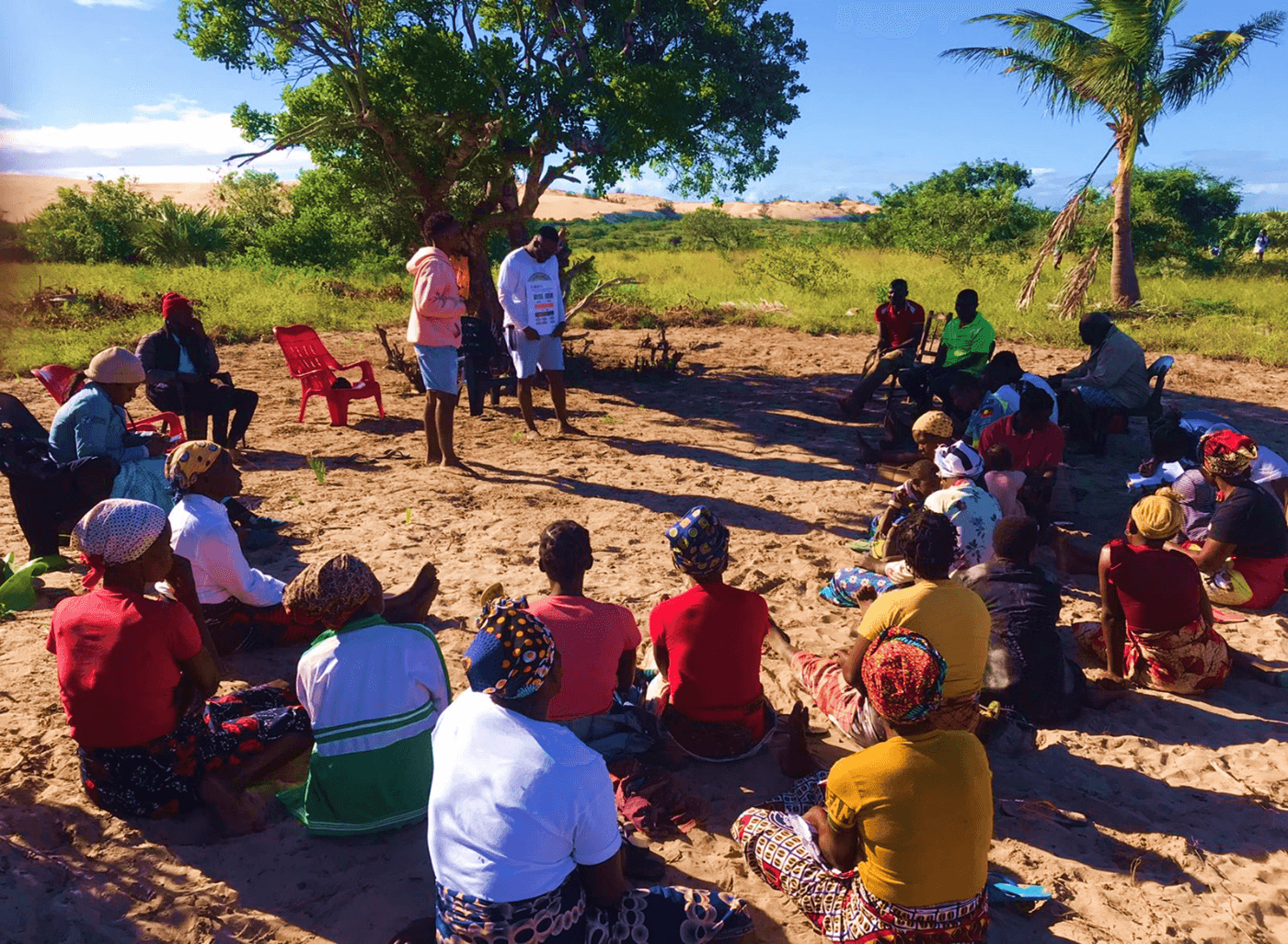
Participatory Coastal Resources Mapping in Greater Bazaruto Key Biodiversity Area
Participatory Coastal Resources Mapping in Greater Bazaruto Key Biodiversity Area
The Greater Bazaruto KBA houses diverse marine ecosystems and because of its abundant biodiversity and diverse landscapes, this area holds significant...
.jpg)
.jpg)
.jpg)
Fisheries Value Chain Mapping and Community Governance in Bazaruto Archipelago National Park
Fisheries Value Chain Mapping and Community Governance in Bazaruto Archipelago National Park
The fisheries value chain mapping and governance assessment aims at understanding the effects of the fisheries activities across the region, including...
My Skills
Remote Sensing
Expert in satellite imagery analysis, Earth Observation systems, and geospatial data processing for environmental monitoring.
Tools
- ▸Sentinel Application Platform-SNAP
- ▸Google Earth Engine-GEE
Geographic Information Systems (GIS)
Proficient in spatial data collection, analysis, and visualization using advanced GIS tools for mapping and decision-making.
Tools
- ▸QGIS
- ▸ArcGIS Pro
- ▸Google Earth Pro
- ▸Google MyMaps
- ▸JOSM
Data Analysis
Skilled in statistical analysis, data modeling, and interpretation of complex datasets to support research and decision-making processes.
Tools
- ▸Statistical Package for Social Sciences (SPSS)
- ▸R/Rstudio
- ▸STATA
Precision Agriculture
Specialized in biophysical parameter validation, crop monitoring, and agricultural resource management using EO data and UAV technology.
Data Management
Experienced in database design, data validation, and developing models that generate actionable insights for natural resource management.
Tools
- ▸MySQL
- ▸ArcGIS Online
Monitoring, Evaluation & Learning (MEL)
Passionate about research design, MEL frameworks, and transforming project experiences into learning opportunities for continuous improvement.
Quantitative and Qualitative Research
Skilled in designing research methodologies that combine quantitative and qualitative approaches for comprehensive analysis.
Natural Resources Management
Experienced in measuring and analyzing biodiversity, forest monitoring, and supporting sustainable natural resource management decisions.
Sustainable Livelihood
Committed to developing solutions that support sustainable livelihoods and community resilience through data-driven approaches.
Community Engagement
Experienced in participatory spatial data collection and empowering communities in natural resource management through knowledge transfer.
Courses
BSc. Agricultural Engineering
Advanced Statistics and Experimental Design
Publications
Exposed yet unmapped? Evidence of differential flood exposure in deprived urban areas using citizen science
Validation of Leaf Area Index and Canopy Water Content through Sentinel-2 images in maize (Zea Mays L.) crop: Case study of Vilankulo district
Training & Skills Transfers
"Education is the most powerful weapon you can use to change the world"
— Nelson Mandela
Moved by the quote above, I use part of my time to share and/or transfer skills to the youth and the upcoming generations.

Precision Agriculture with Drones
This training on Precision Agriculture with Drones was provided by Mozambique Flying Labs, focusing on the application of drone technology for agricultural monitoring and management.

Kobo ToolBox for Data Collection and Data Management
This training was provided to final-year students from Pungue University by Mozambique Flying Labs, as part of our mission of inclusive digital transformation in the country. The students were provided with material on principles of quantitative research, data collection through mobile devices, and data management. The two-day training consisted of theoretical and practical components, allowing students to improve in a realistic field context of data collection.

Google Earth Engine Webinar
In this public webinar organized by Mozambique Flying Labs, our objective was to demonstrate in practice how data from Earth observation systems can be used for informed decision-making in various sectors through datasets available on this powerful remote sensing platform.

Google My Maps For Flood Mapping
The Google My Maps training for mapping flooded areas was part of the Space4ALL project, which aimed to empower members of local communities in flood-prone neighborhoods in the cities of Beira and Chimoio in Mozambique and Kisumu in Kenya. This training aimed to empower community members to generate and share data on floods, as well as a history of critical locations in their neighborhoods, enabling the reception of detailed information on flood history in these intervention areas of the Space4ALL project and validating the flood early warning model.

Sustainable Natural Resources Management
This training was provided to 5 communities Gorongosa National buffer zone, Park as part of the community-led natural resources management through participatory spatial data project conducted by Data4MOZ and funded by USAID.

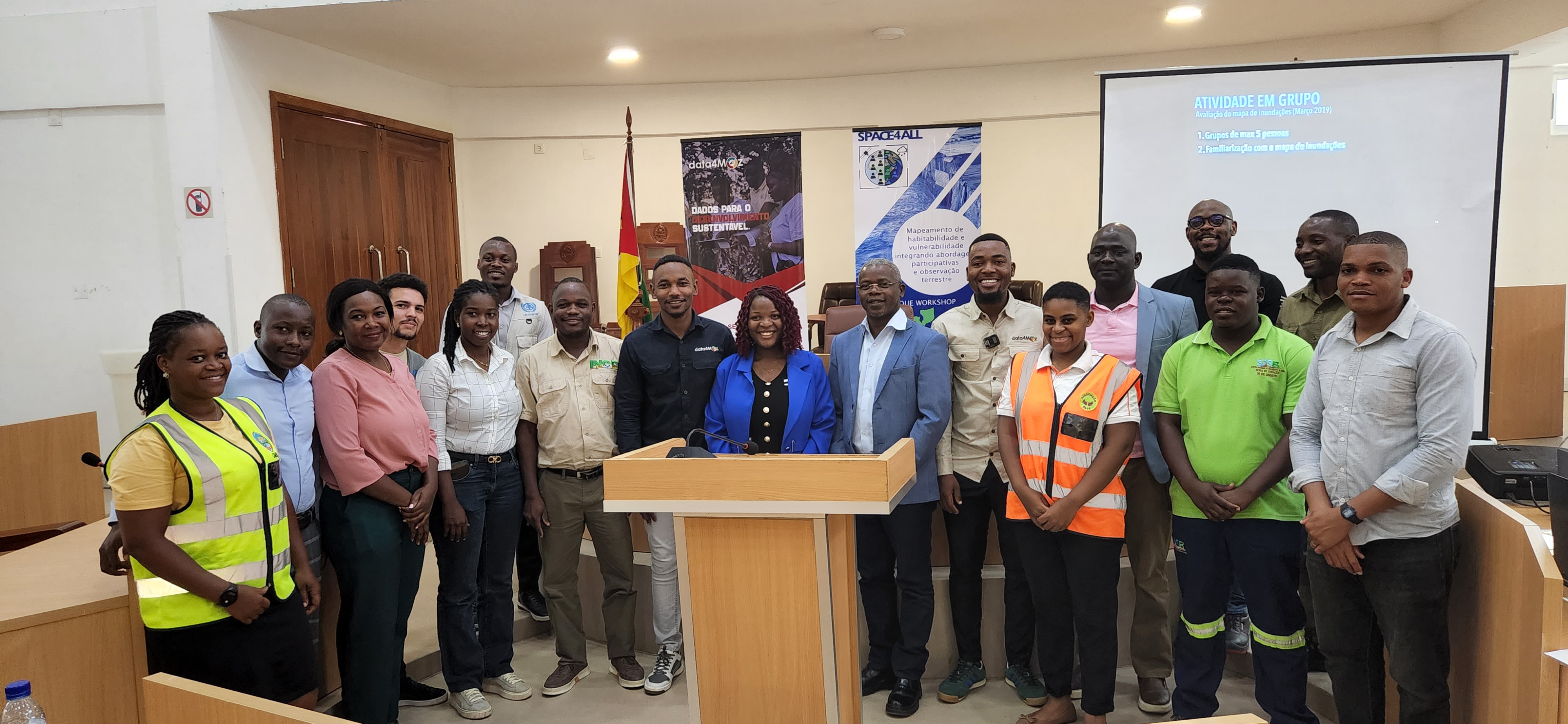
Community Governance
The training in community governance was aimed at 17 newly established community committees by Data4MOZ in the Bazaruto Archipelago National Park (BANP), with the goal of improving community participation and involvement when it comes to establishing norms that impact the lives of the communities residing in the archipelago.
Contact Me
Send Message
Connect with Us
Schedule a consultation or send us a message
dm.ibraimo07@gmail.com
Location
Chimoio, Manica Province
Mozambique